Calab Rare Books
ST. LAWRENCE RIVER
ST. LAWRENCE RIVER
Couldn't load pickup availability
Share
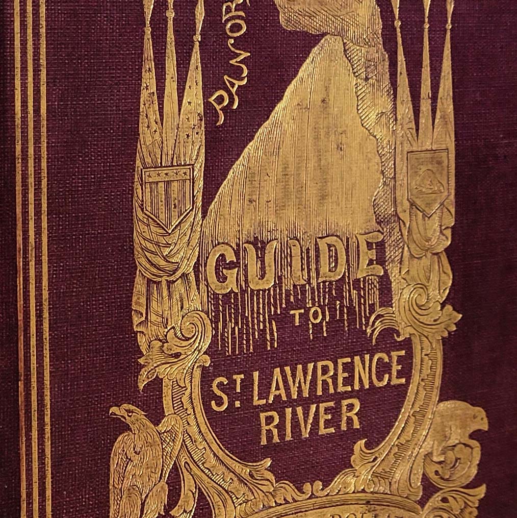
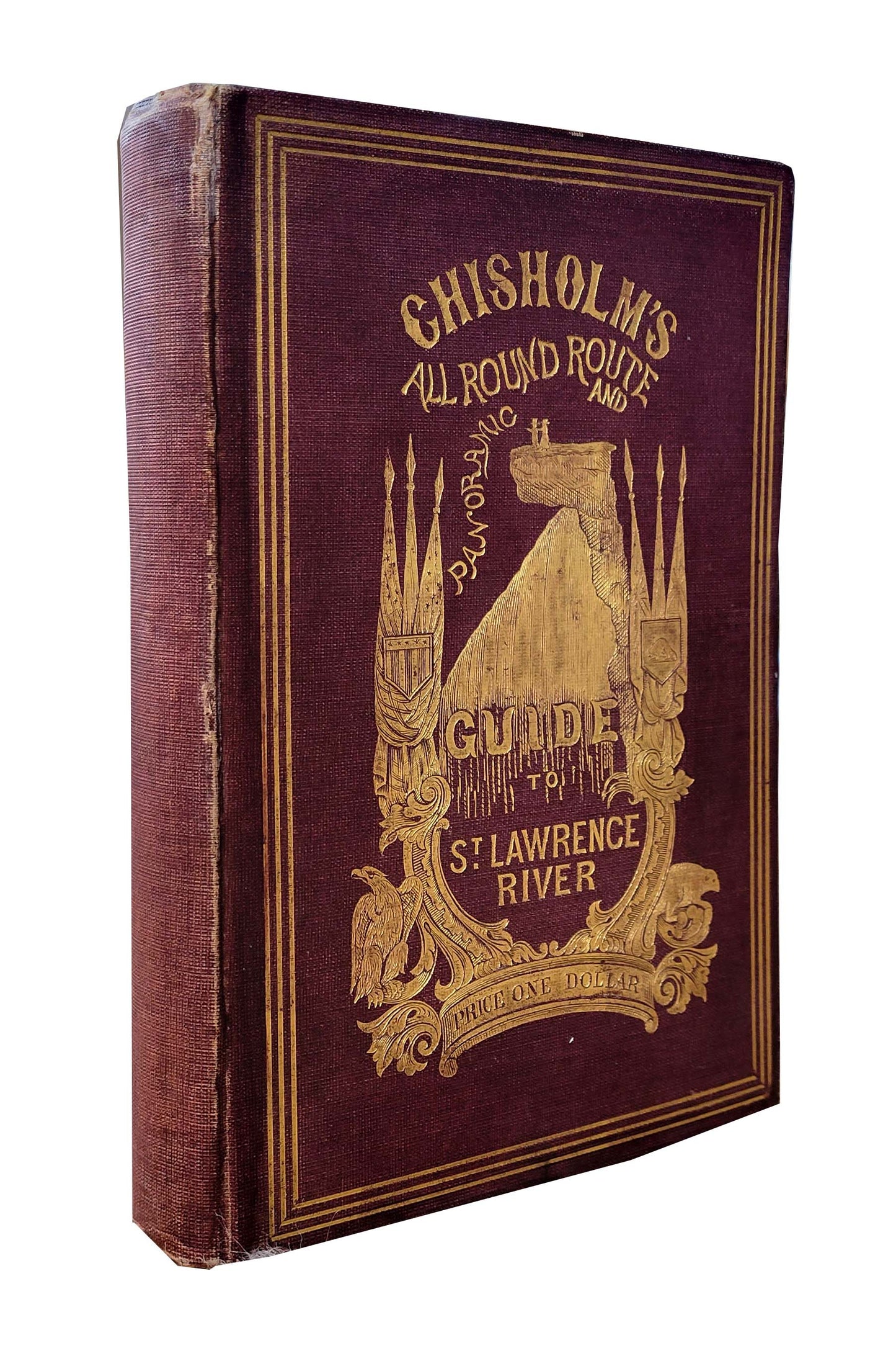
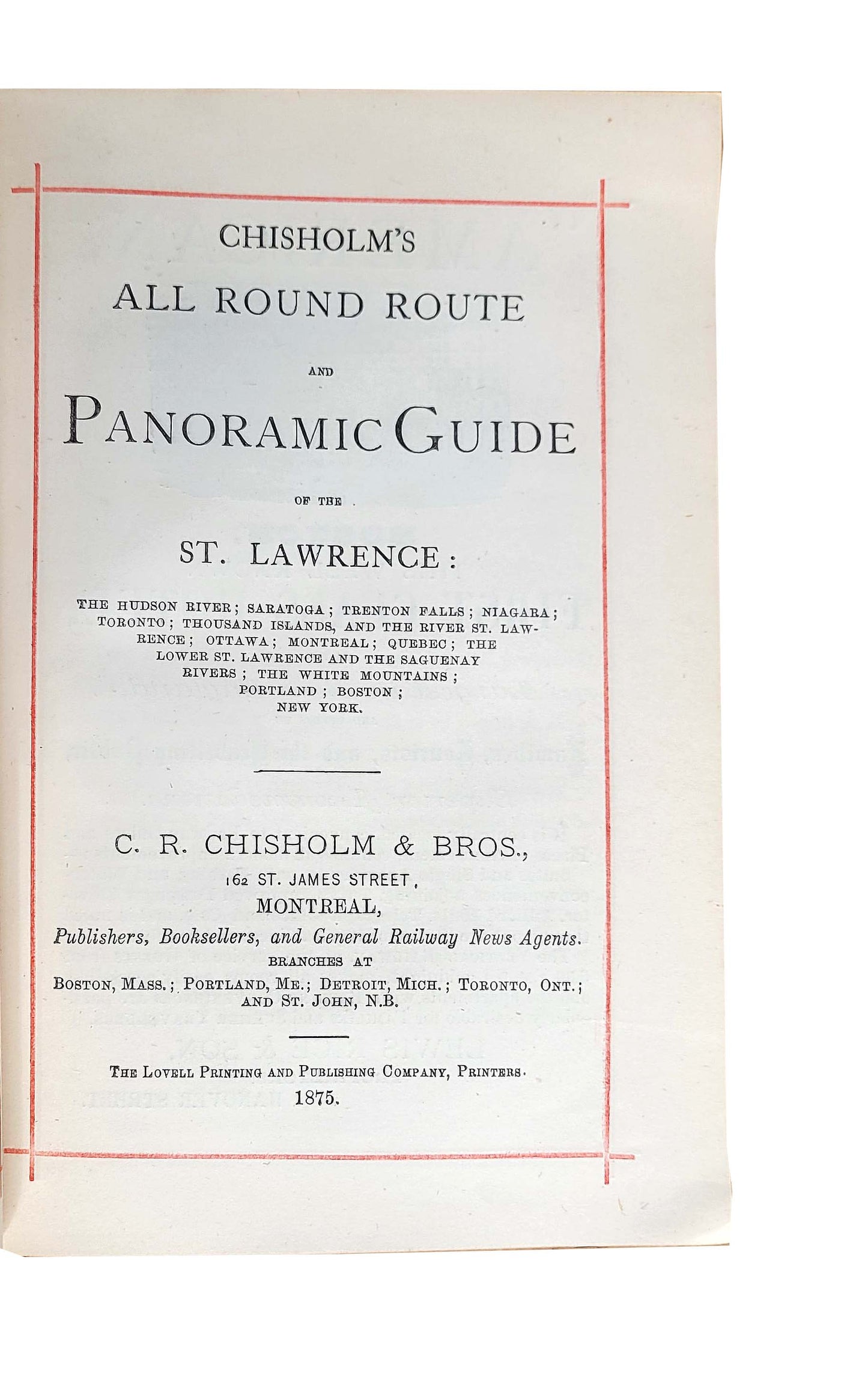
CHISOLM, C.R. Chisholm’s All Round Route and Panoramic Guide of the St. Lawrence: The Hudson River: Saratoga: Trenton Falls; Niagara; Toronto: Thousand Islands; Ottawa; Montreal; Quebec; The Lower St. Lawrence and the Sanguaenay Rivers; The White Mountains; Portland; Boston; New York. viii, 296 pp. Illustrated with a long fold out wood engraved panoramic map, 3708 x 178 mm, six further fold-out maps, illustrated throughout with wood engravings. 8vo., bound in publisher’s gilt stamped maroon cloth. Montreal: C.R. Chisolm & Bros., 1875.
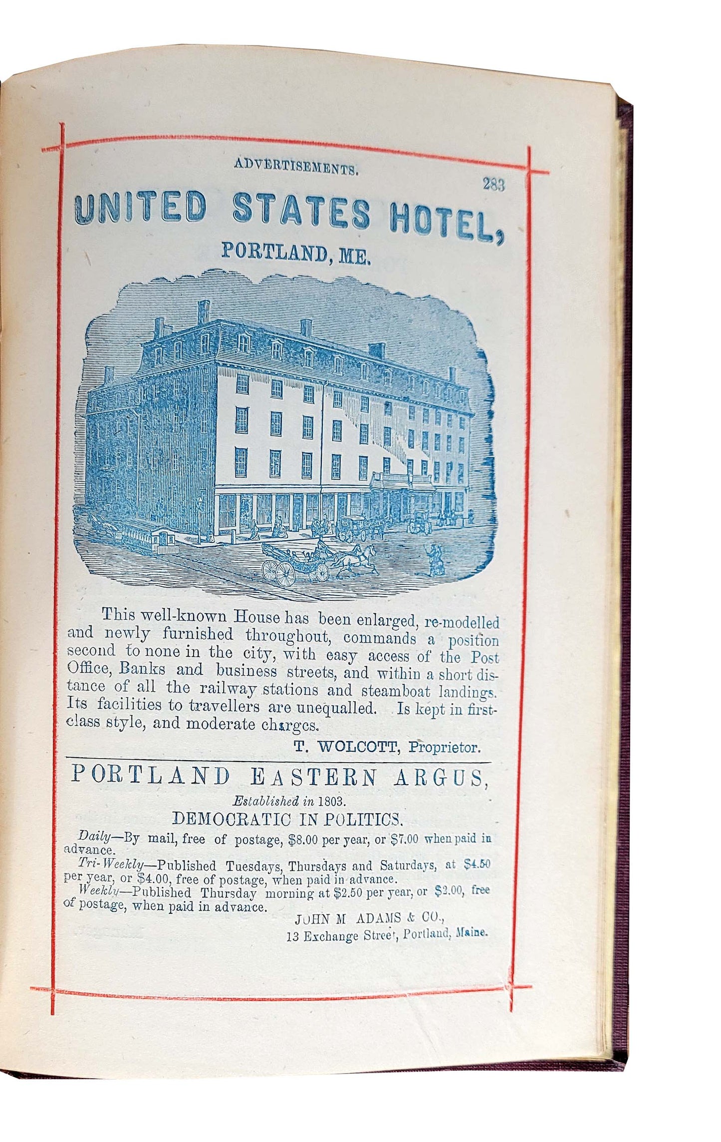
Later edition of this popular, profusely illustrated guide to Quebec and the surrounding states in the U.S. Includes a long, panoramic fold-out map of the St. Lawrence as well as the Niagara River. The profusion of ads are printed in blue often with wood engraved illustrations. A fine copy with the cover gilt bright and strong and the panorama complete and in good shape.
